
Accurate insights for safe projects
Subsurface
Application Areas & Key Capabilities
Delivering precise subsurface insights to support water, environmental, and resource projects.
Water Resources
- Locate conductive faults in fractured aquifers
- Assess groundwater table characteristics
- Map saltwater intrusion and wedges in aquifers
Environmental Studies
- Monitor subsurface pollution and landfill leakage
- Locate buried structures and waste materials
Natural Hazards Assessment
- Detect underground cavities and voids
- Assess landslide extent and material volume
- Identify clay layers for geotechnical applications
Mineral Exploration
- Detect dike-type and lens-shaped orebodies
- Identify deep and concealed mineral deposits
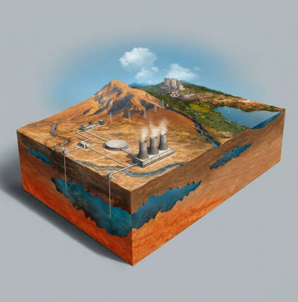
GPR Systems & Applications
Advanced ground penetrating radar solutions with flexible depth coverage for multiple industries.
GPR Antennas & Depth Coverage
- MLF (16, 20, 35, 40, 80 MHz): 0–75 m
- 100 MHz Shielded: 2–15 m (monostatic), 0–30 m (bistatic)
- 200 MHz Shielded: 0–9 m
- 400 MHz Shielded: 0–4 m
Applications
- Mining & Quarrying: Placer deposits, tunneling, rock quality
- Geotechnical: Sinkholes, stratigraphy, mine shafts
- Hydrogeology: Water table, saltwater intrusion, soil moisture, bathymetry
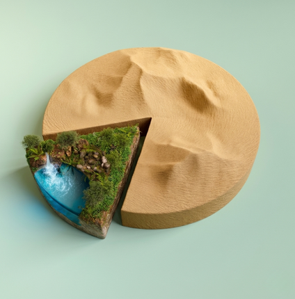
Water & Environmental Investigations
Reliable geophysical solutions for groundwater evaluation, pollution monitoring, and buried feature detection.
Water Resources
- Map conductive faults in fractured aquifers
- Evaluate water table characteristics
- Define saltwater wedge in groundwater
Environment
- Monitor pollution and leaks in waste sites
- Identify buried structures
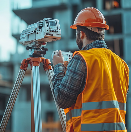
Gravity Survey Applications
Using gravity measurements to reveal subsurface density variations and structural features.
Applications
- Mapping basin geometry
- Determining bedrock depth
- Identifying faults
- Detecting subsurface cavities, fractures, and voids
- Locating local density variations
Magnetic & Electromagnetic (EM) Surveys
High-precision ground magnetic and EM surveys to identify subsurface structures and geological variations critical for mineral exploration.
At Geomantix, we provide ground magnetic and electromagnetic (EM) surveys for mining and mineral exploration. These surveys help identify subsurface structures and geological variations essential for evaluating mineral potential. Using modern magnetometers, advanced EM systems, and high-precision GPS, we deliver accurate data through systematic coverage and optimized processing—ensuring reliable insights for exploration projects.
Seismic Refraction Survey Services
Accurate bedrock mapping and subsurface velocity analysis using P-wave seismic data.
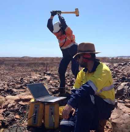
Geomantix Services conducted a seismic refraction survey along a proposed trail in North Carolina. This method records the travel times of compression waves (P-waves) from an energy source to geophones. The data are processed to model subsurface layers, assuming each deeper layer has a higher velocity than the one above. Seismic refraction is well-suited for mapping bedrock beneath soils like sand or clay, and the derived P-wave velocities can also indicate rock rip ability.

Integrated Subsurface & Reservoir Studies
End-to-end geological, geophysical, and reservoir engineering solutions supporting the full exploration and field development lifecycle.
Exploration & Evaluation
- Bid round and acreage assessments
- Exploration and exploitation studies
Field Development
- Integrated development planning
- Reservoir performance evaluation
- Resource and reserve certification
Technical Capabilities
- 2D & 3D seismic interpretation and inversion
- Sequence stratigraphy, biostratigraphy, and sedimentology
- Static, structural, velocity, and geomechanical modeling
- Petrophysical log analysis and fault seal studies
- 3D stochastic reservoir characterization
- Reservoir engineering studies (forecasting, history matching, dynamic simulation, economic evaluation)