
Transforming data into spatial clarity
Mapping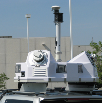
Fast & Accurate Mobile Mapping
Efficient data capture for hard-to-survey environments, enabling consultants and GIS teams to build reliable geodatabases.
Recently growing demand for accurate, dense geospatial data requires fast and accessible collection methods. Mobile mapping systems meet this need by quickly capturing data in areas difficult to survey traditionally, supporting consultants, decision-makers, and GIS users in building integrated geodatabases.
Topographic Mapping
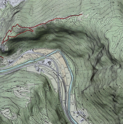
Accurate documentation of existing site conditions to support planning, design, and construction decisions.
Topographic surveys capture ground surface features and planimetric site details for applications such as urban and regional planning, project design, road and utility alignment, site grading, and quantity calculations. The collected data are presented as topographic maps tailored in scale and format to meet specific project needs.
Data acquisition is performed using total stations or satellite-based positioning systems, selected based on accuracy requirements, site conditions, and project constraints. GNSS RTK and conventional surveying methods deliver comparable results and can be used interchangeably for most projects.
3D Laser Scanning
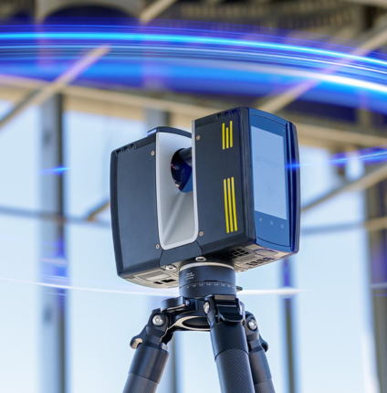
Fast, safe, and highly accurate surveying for complex and congested environments.
Key Benefits of 3D Laser Scanning
- Safe data capture without physical site access
- Rapid surveying of complex and congested environments
- High-accuracy 3D models with precise dimensions and locations
- No road closures or site disruption required
- Generation of accurate 2D & 3D as-built drawings
- Realistic visualization using integrated digital imagery
- Reduced site visits and improved project efficiency
- Seamless integration with existing structures and facilities
Hydrographic Surveys
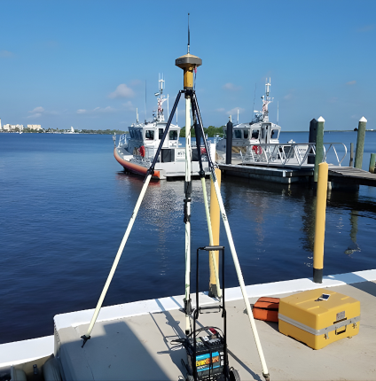
Accurate marine and coastal data supporting offshore development, navigation safety, and dredging operations.
Key Services & Benefits
- Pre- and post-dredging surveys and volume calculations
- Navigation clearance and obstruction detection
- Coastal engineering and shoreline management surveys
- Offshore drill barge and structure positioning
- Tidal measurements and chart datum computation
- Shallow and deep draft navigation charting
- Harbor and port construction surveys
- Offshore environmental monitoring surveys

Construction Layout & Staking Surveys
Accurate positioning and elevation of construction elements based on IFC plans.
Construction Layout and Staking Surveys mark the position and elevation of construction elements on the ground according to approved IFC design plans and project coordinates. This includes foundations, axis lines, slabs, utilities, drainage, embankments, roads, pipelines, culverts, and other structures. Surveys use total stations, levels, or RTK GNSS, with equipment selected based on required accuracy and site conditions. Our trained survey teams ensure precise, efficient, and reliable results. With proven experience, advanced technology, and professional expertise, we deliver survey services that meet and exceed client expectations.
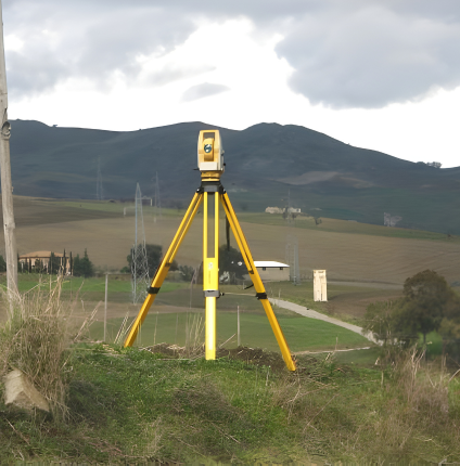
Project Control & Geodetic Networks
Accurate control points for seamless integration and precise surveying.
Project control points are established using GNSS static/fast static surveys, conventional traversing, and differential leveling. Geomantix has extensive experience in creating geodetic control networks, from small projects to regional and national systems, and linking them to local, municipal, national, and global networks. This ensures accurate integration with adjacent developments and supports updates to Land Information Systems, GIS, and as-built plans. We maintain the highest standards in selecting and constructing survey control monuments, using appropriate technologies for precise coordinates and elevations. Early planning of the project coordinate system and control network is essential for project success. For more information, please contact our client relations team.
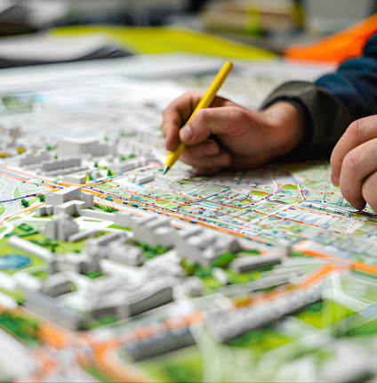
City Master Planning Support
Geomantix provides essential mapping and survey services to support city master planning.
Service includes:
- Multipurpose base maps for urban and regional planning
- Topographic and planimetric detail mapping
- Floodplain mapping and terrain modeling
- Route planning surveys for transportation and utilities
- Traffic study surveys and data collection
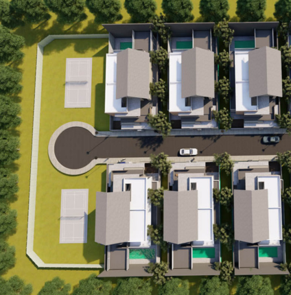
Land Subdivision & Development Services
Our experienced team delivers high-standard subdivision solutions that enhance quality of life, support sustainability, integrate with communities, and maximize investment value.
Service includes:
- Topographic and boundary surveys to define land configuration, utilities, and legal limits
- Analysis of zoning and subdivision regulations
- Hydrographic surveys for waterfront developments
- Preparation of subdivision concepts and final plans
- Lot boundary mapping and deed-ready descriptions
- Development of cadastral base maps on LIS platforms
- Coordination with local authorities for approvals and permits
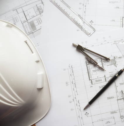
Alignment Planning
Route planning surveys support infrastructure projects such as highways, railways, pipelines, and power transmission lines.
Geomantix provides:
- Accurate geospatial data to select the most efficient alignment
- Reliable topographical and cadastral survey information
- Detailed maps of site features and utilities to support informed decisions
- Solutions that minimize costs, reduce delays, and enhance environmental and community benefits
- Advanced technology and proven expertise for fast and precise delivery
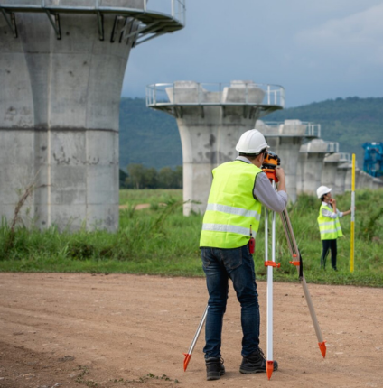
Mining Surveying Services
Geomantix provides surveying services for all mining project stages, from exploration to rehabilitation, supporting both open-cut and underground operations.
Service includes:
- Establishment of survey control networks and baselines
- Topographic and 3D laser scanning surveys
- Stockpile and material volume calculations
- Terrain modeling
- Site layout updates
- Road and ramp stakeout
- High wall surveys
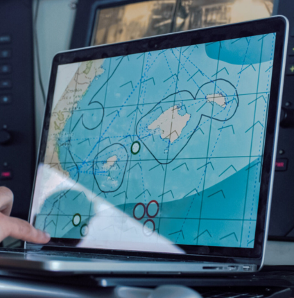
Geospatial Services
Operating at the heart of the energy sector, Geomantix provides geospatial solutions that help clients efficiently plan and manage resources, optimize operations, and make informed decisions.
Service includes:
- Support services for oilfield seismic surveys
- Accurate satellite-based positioning
- Asset tracking and management
- Oil and gas well surveys
- Rig surveys
- Horizontal and vertical alignment surveys
- Pad and site preparation surveys
- Top drive alignment
- Offshore positioning surveys
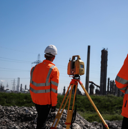
Quantity and stockpile surveys
Geomantix surveyors provide precise earthwork volume measurements to reduce costs and improve project planning.
Service includes:
- Generate 3D data from 2D plans or CAD files to calculate excavation, backfilling, embankments, material imports/exports, and site balances
- Support competitive bidding and resource planning for platforms, landscaping, or civil works
- Handle site logistics, including calculating the number and size of trucks and excavators required
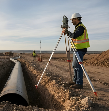
Well Positioning & Pipeline Surveys
Accurate 3D coordinates for efficient well placement and pipeline planning.
Well positioning and pipeline surveying rely on GNSS (GPS) and total stations to determine accurate 3D coordinates. Well positioning uses directional surveys and real-time data for precise placement, while pipeline surveying covers route planning and condition assessments, including subsurface methods like CCTV inspections.